
Who Wants To Cruise The Angeles Crest with me TODAY !


Senior Member
Joined: Mar 2002
Posts: 376
Likes: 0
From: S.F. Valley
Carry chains with you during the winter season, if you are planning to travel roads above the 3,000 foot level. With the exception of Littlerock, most forest roads that are closed to vehicle traffic are open to hiking, mountain biking, and equestrian use, but the users must be aware of possible administrative traffic.
Storm Related Road Closures
As of March 28, 2005, forest, county, and state road closures continue to be in effect for some roads within the Angeles National Forest.
Closed roads include:
Little Tujunga Road from Garrick Ave. to Goldcreek Road (County)
Goldcreek Road from Hathaway Foundation to Little Tujunga Road (County)
Angeles Crest Highway (SR2) Road closures may occur at the 6,000 foot elevation due to weather/road conditions, and a seasonal closure at Islip Saddle. Road is closed between Red Box and Upper Big Tujunga due to active slide. (State)
Mt. Wilson Road at Redbox (FS)
Table Mountain Rd. from Big Pines Highway (County)
Ridge Route from Lake Hughes Road (County)
Ridge Route from Lake Hughes Road to Templin Highway (County)
Mt. Emma Road from Cheseboro Road to Fort Tejon Road (County)
Three Points Rd. from Pine Canyon Rd. to Lancaster Rd. (County)
Pine Canyon Rd. from Three Points Rd. to Lake Hughes Rd. (County)
Pine Canyon Rd. from Ridge Route Rd. from Three Points Rd. (County)
Santa Anita Canyon Road (Chantry Flat) (Multi-Agency)
San Francisquito Canyon Road to Spunky Canyon Road (County)
San Dimas Canyon Road to Golden Hills Road (County)
Glendora Ridge Road (County)
Glendora Mountain Road (County)
Bouquet Canyon Rd. from Vasquez Canyon Rd. to Spunky Canyon Rd. (County)
Bouquet Canyon Rd. from Spunky Canyon Rd. to Elizabeth Lake Rd. (County)
Information regarding road closures in the unincorporated area of Los Angeles County is available at L.A. County, Department of Public Works.
Other Road Closures
A Forest Order pertaining to the Santa Clara/Mojave Rivers Ranger District will effect many National Forest System Roads and Trails from February 19, 2005 through May 31, 2005. Click on the following link to access the 94 kb pdf file which lists the closures. Forest Order
Have fun Ryan
LC
Trending Topics

Thread Starter
Ryan
Joined: Mar 2003
Posts: 1,534
Likes: 0
From: Los Angeles, Ca 323/213/818/626
Originally Posted by 88GT
Closed roads include:
Little Tujunga Road from Garrick Ave. to Goldcreek Road (County)
Little Tujunga Road from Garrick Ave. to Goldcreek Road (County)
Last edited by 1984se; Apr 6, 2005 at 06:06 PM.
Thread Starter
Ryan
Joined: Mar 2003
Posts: 1,534
Likes: 0
From: Los Angeles, Ca 323/213/818/626
Originally Posted by DriveFast7
Pictures please
http://www.putfile.com/media.php?n=Angeles-Crest-042
PICS
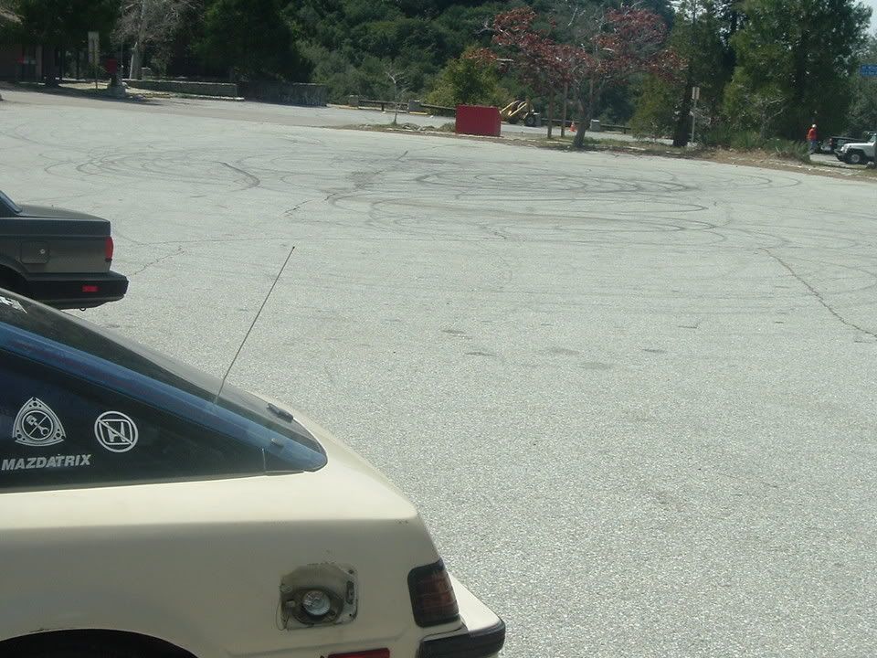
CAN YOU SAY E BRAKE ! ! ! !

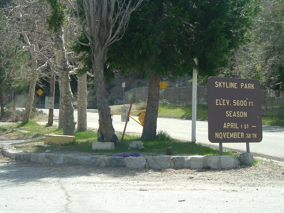
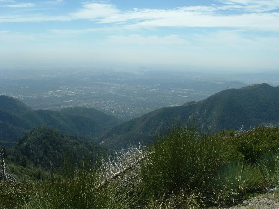
Dont know which mountains these are?
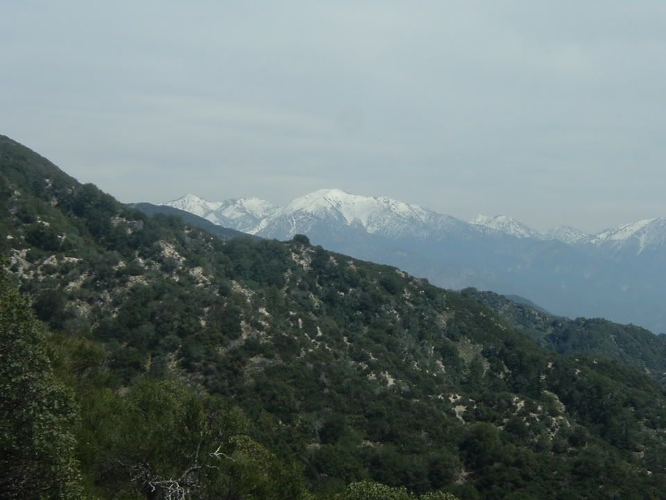
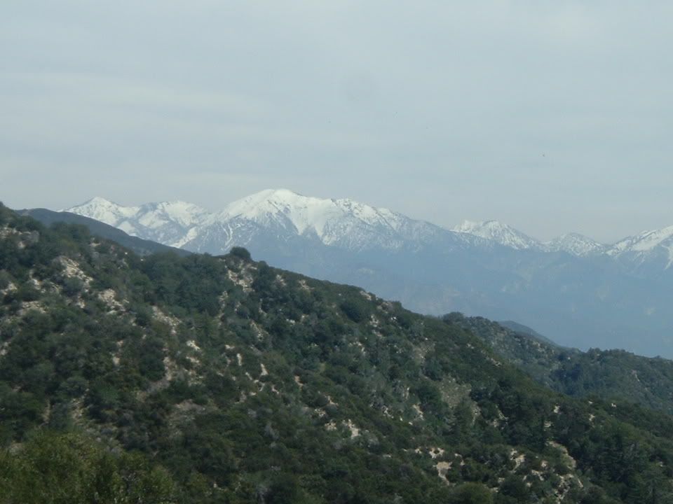
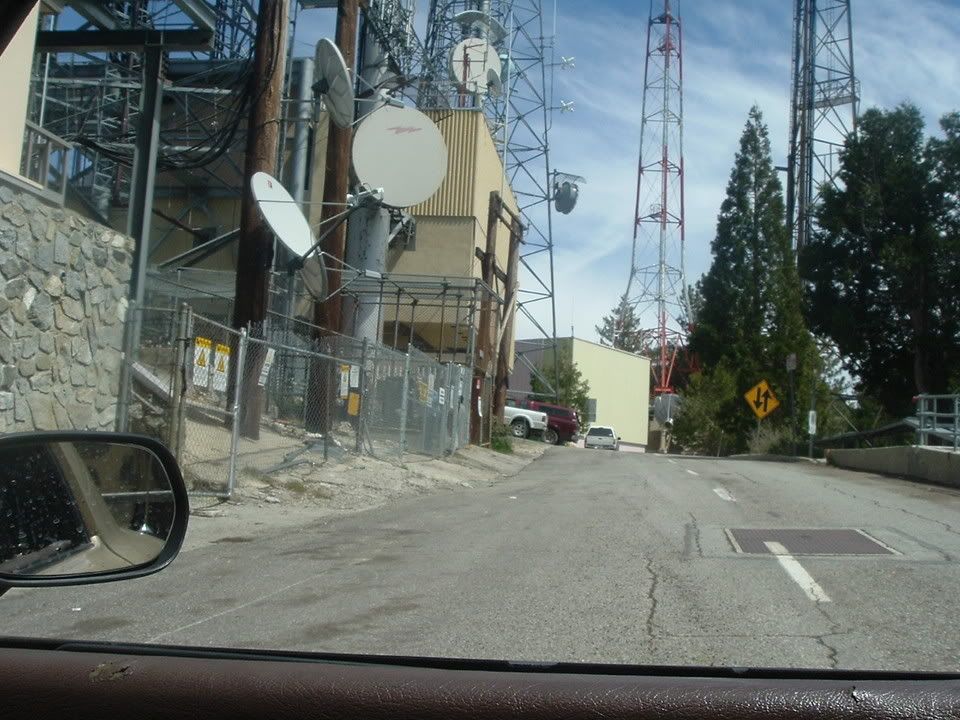
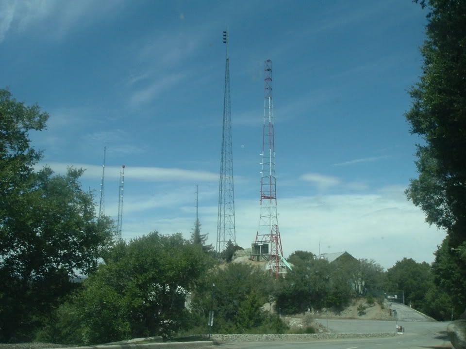
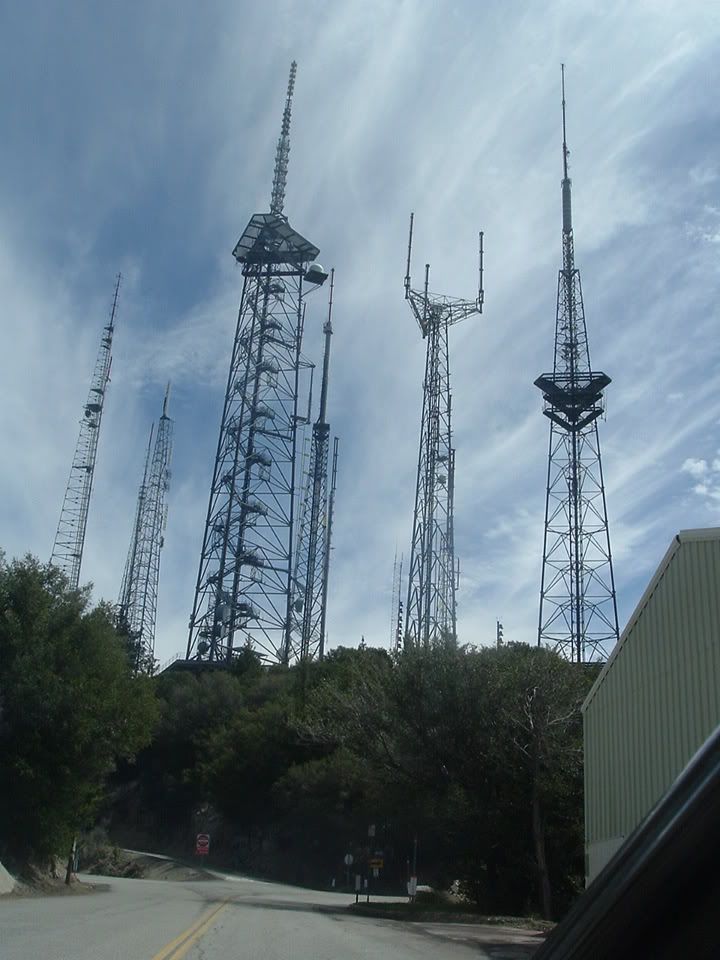
This is before going up towards the tower thingys...


Joined: Oct 2001
Posts: 4,772
Likes: 2
From: My 350Z Roadster kicks my RX7's butt
I haven't been there since I drove off the cliff racing my GSX-R. Before that there was a head on collision with two bikes arond a blind corner. Isn't there at least one death there every weekend?
Thread Starter
Ryan
Joined: Mar 2003
Posts: 1,534
Likes: 0
From: Los Angeles, Ca 323/213/818/626
Thread Starter
Ryan
Joined: Mar 2003
Posts: 1,534
Likes: 0
From: Los Angeles, Ca 323/213/818/626

Originally Posted by 88GT
Carry chains with you during the winter season, if you are planning to travel roads above the 3,000 foot level. With the exception of Littlerock, most forest roads that are closed to vehicle traffic are open to hiking, mountain biking, and equestrian use, but the users must be aware of possible administrative traffic.
Storm Related Road Closures
As of March 28, 2005, forest, county, and state road closures continue to be in effect for some roads within the Angeles National Forest.
Closed roads include:
Little Tujunga Road from Garrick Ave. to Goldcreek Road (County)
Goldcreek Road from Hathaway Foundation to Little Tujunga Road (County)
Angeles Crest Highway (SR2) Road closures may occur at the 6,000 foot elevation due to weather/road conditions, and a seasonal closure at Islip Saddle. Road is closed between Red Box and Upper Big Tujunga due to active slide. (State)
Mt. Wilson Road at Redbox (FS)
Table Mountain Rd. from Big Pines Highway (County)
Ridge Route from Lake Hughes Road (County)
Ridge Route from Lake Hughes Road to Templin Highway (County)
Mt. Emma Road from Cheseboro Road to Fort Tejon Road (County)
Three Points Rd. from Pine Canyon Rd. to Lancaster Rd. (County)
Pine Canyon Rd. from Three Points Rd. to Lake Hughes Rd. (County)
Pine Canyon Rd. from Ridge Route Rd. from Three Points Rd. (County)
Santa Anita Canyon Road (Chantry Flat) (Multi-Agency)
San Francisquito Canyon Road to Spunky Canyon Road (County)
San Dimas Canyon Road to Golden Hills Road (County)
Glendora Ridge Road (County)
Glendora Mountain Road (County)
Bouquet Canyon Rd. from Vasquez Canyon Rd. to Spunky Canyon Rd. (County)
Bouquet Canyon Rd. from Spunky Canyon Rd. to Elizabeth Lake Rd. (County)
Information regarding road closures in the unincorporated area of Los Angeles County is available at L.A. County, Department of Public Works.
Other Road Closures
A Forest Order pertaining to the Santa Clara/Mojave Rivers Ranger District will effect many National Forest System Roads and Trails from February 19, 2005 through May 31, 2005. Click on the following link to access the 94 kb pdf file which lists the closures. Forest Order
Have fun Ryan
LC
Storm Related Road Closures
As of March 28, 2005, forest, county, and state road closures continue to be in effect for some roads within the Angeles National Forest.
Closed roads include:
Little Tujunga Road from Garrick Ave. to Goldcreek Road (County)
Goldcreek Road from Hathaway Foundation to Little Tujunga Road (County)
Angeles Crest Highway (SR2) Road closures may occur at the 6,000 foot elevation due to weather/road conditions, and a seasonal closure at Islip Saddle. Road is closed between Red Box and Upper Big Tujunga due to active slide. (State)
Mt. Wilson Road at Redbox (FS)
Table Mountain Rd. from Big Pines Highway (County)
Ridge Route from Lake Hughes Road (County)
Ridge Route from Lake Hughes Road to Templin Highway (County)
Mt. Emma Road from Cheseboro Road to Fort Tejon Road (County)
Three Points Rd. from Pine Canyon Rd. to Lancaster Rd. (County)
Pine Canyon Rd. from Three Points Rd. to Lake Hughes Rd. (County)
Pine Canyon Rd. from Ridge Route Rd. from Three Points Rd. (County)
Santa Anita Canyon Road (Chantry Flat) (Multi-Agency)
San Francisquito Canyon Road to Spunky Canyon Road (County)
San Dimas Canyon Road to Golden Hills Road (County)
Glendora Ridge Road (County)
Glendora Mountain Road (County)
Bouquet Canyon Rd. from Vasquez Canyon Rd. to Spunky Canyon Rd. (County)
Bouquet Canyon Rd. from Spunky Canyon Rd. to Elizabeth Lake Rd. (County)
Information regarding road closures in the unincorporated area of Los Angeles County is available at L.A. County, Department of Public Works.
Other Road Closures
A Forest Order pertaining to the Santa Clara/Mojave Rivers Ranger District will effect many National Forest System Roads and Trails from February 19, 2005 through May 31, 2005. Click on the following link to access the 94 kb pdf file which lists the closures. Forest Order
Have fun Ryan
LC
Half those roads are in my city. Traffic sucked here because of that damned rain.
Thread Starter
Ryan
Joined: Mar 2003
Posts: 1,534
Likes: 0
From: Los Angeles, Ca 323/213/818/626
Originally Posted by 88GT
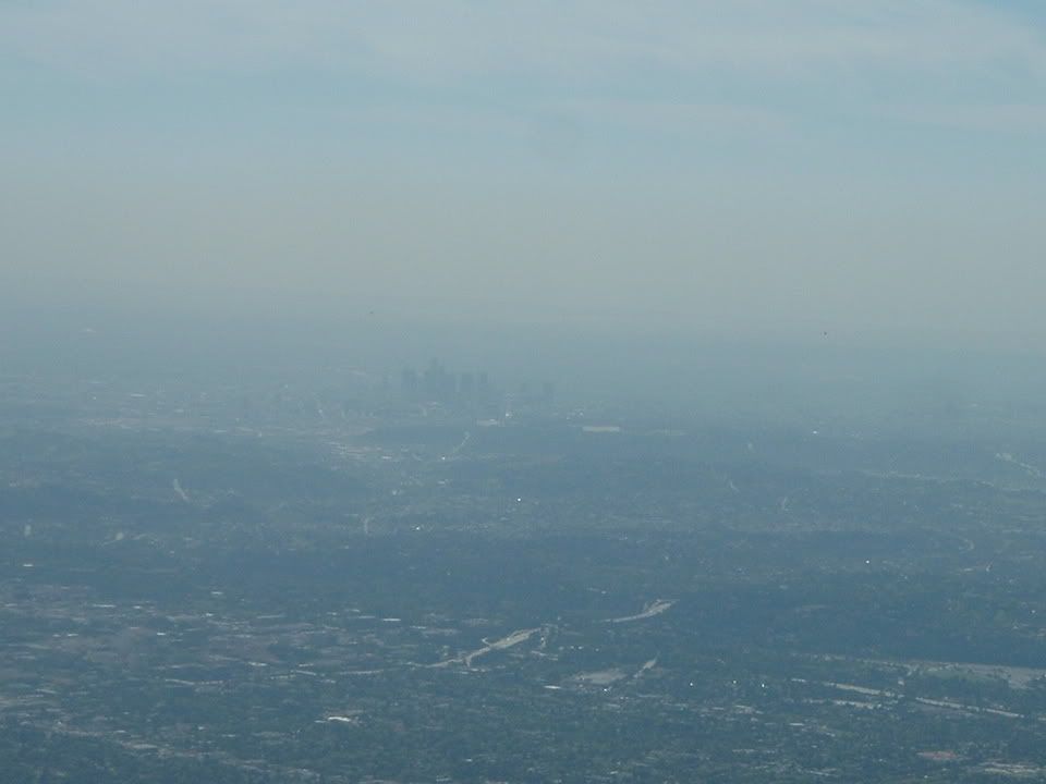
Fortunately it's not all smog otherwise we'd be dead How far east did you go?
LC
How far east did you go?LC
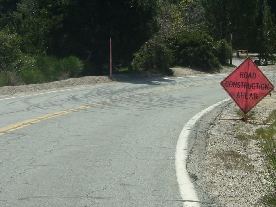
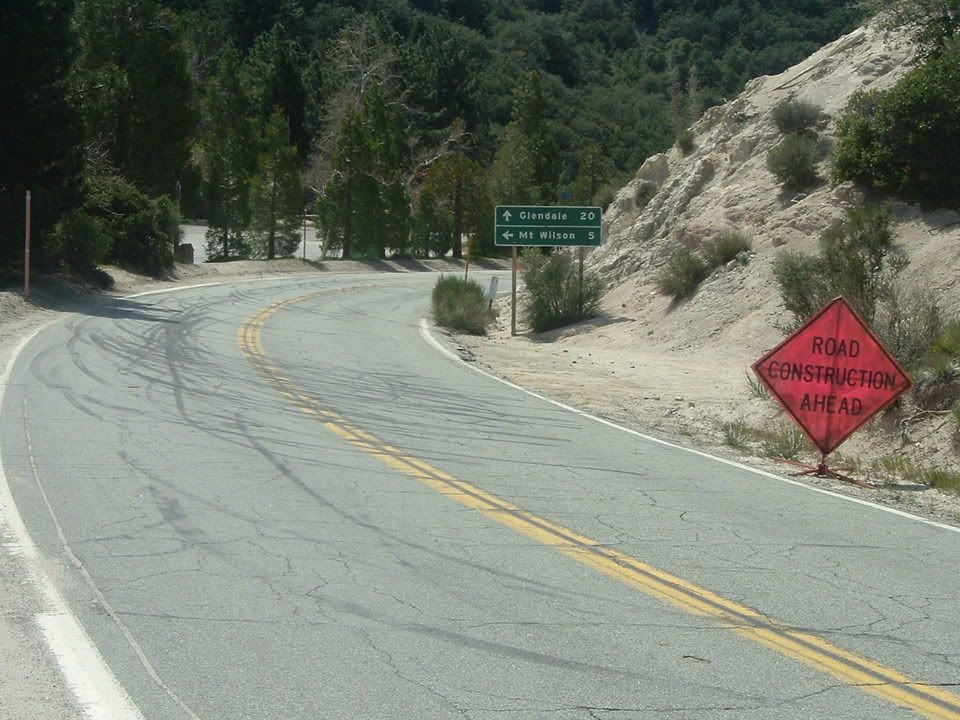
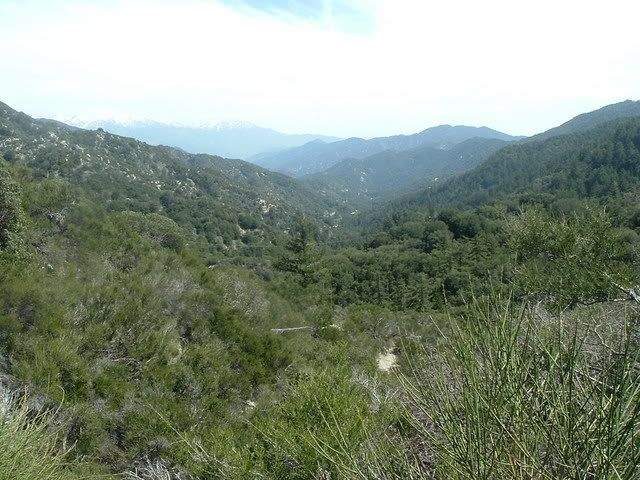
From the bottom to this point is about 20 miles...
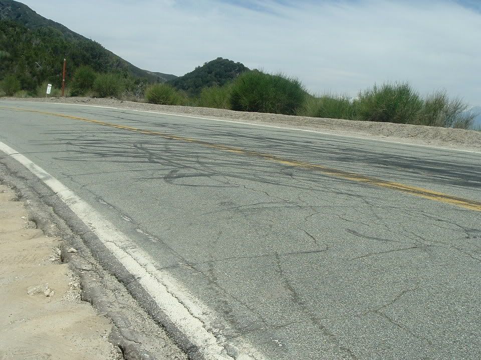
Then from that point to the tower thingys is about another 5 miles...THAT was a FUN ROUTE, LOTS of 60 90 degree turns then some mini 3rd gear sweeper turns..
Here's the *VIDEO*
another
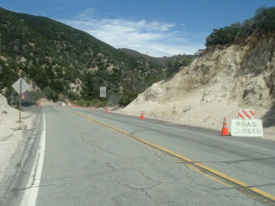
From there you can go either towards the tower thingys, or this way which was closed...
I cant wait for our anual run...
